Incredible Footage Of A Roll Cloud
You don’t get to see roll clouds all that often from my rainy little isle, or anywhere else for that matter, so I’m happy to live vicariously for now. Videos will have to do. The roll cloud in the clip below was filmed in Ontario in 2007 and it looks kind of terrifying but also 180% amazing.
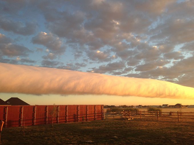
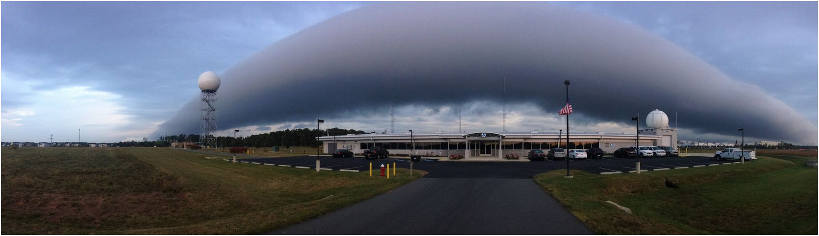
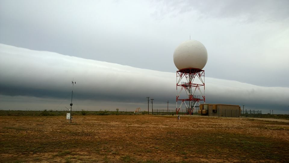
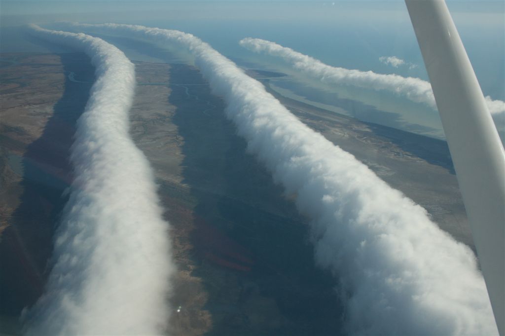
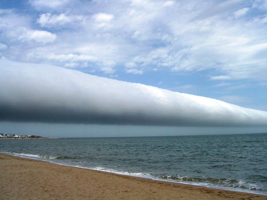
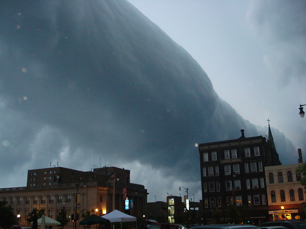
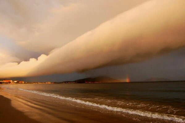
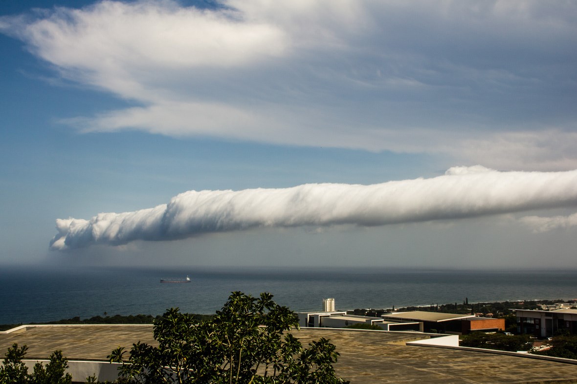
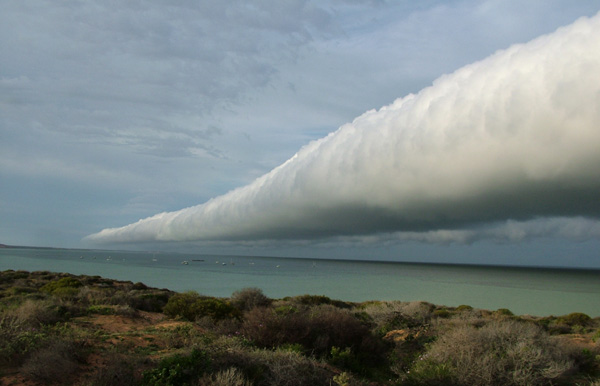
Roll clouds are a type of arcus cloud, which are low horizontal cloud formations. They are generally associated with the approach of stormy weather. Roll clouds are most often formed by outflows of cold air from sea breezes or cold fronts.
The weirdest thing about roll clouds is that they aren’t attached to any other cloud structures. They are just one immensely long tubes across the horizon rotating and approaching like some kind of sci-fi end-of-the-world-scene. They don’t change shape or speed which is quite odd for clouds; this type of singular wave is called a soliton:
…a self-reinforcing solitary wave (a wave packet or pulse) that maintains its shape while it propagates at a constant velocity. Solitons are caused by a cancellation of nonlinear and dispersive effects in the medium.
The most famous roll cloud is the Morning Glory cloud in Queensland, Australia. During the month of October this particular high roller can be seen as many as 10 times. Nowhere else on earth is it quite so predictable.
Here are a few impressive images of these wonderful meteorological weirdos:
Here’s that Ontario video:
MORE WEATHER FACTS:
PREDICTING WEATHER BY THE CLOUDS
INCREDIBLE MAMMATUS CLOUDS OVER MICHIGAN
CHEMTRAILS AND WHY WE SHOULDN’T WORRY
THE BLOB: A METEOROLOGICAL MYSTERY
SO WHAT’S THE CONSENSUS ON GLOBAL WARMING?